Geographic situation:
Arenys de Munt is located in the Maresme area, 4 km from the seaside and 45 km from Barcelona, the capital of Catalonia. Arenys de Munt is in the middle of the mountains, in the southerner slope of the Litoral mountain range, in a green area rich in waters. The north-west part of Arenys the Munt is inside the Natural Park of Montnegre and Corredor.
Limits:
Border on Sant Vicenç de Montalt, Dosrius, Arenys de Mar, Sant Iscle de Vallalta, Canet de Mar and Vallgoguina.
Surface:
22,05 square kilometres.
Altitude:
The highest altitudes of Arenys de Munt are the Montalt Hill (595 m) and the Mig Hill (854 m). And the lowest height above the sea level is 55 m.
Inhabitants:
6.269 inhabitants.
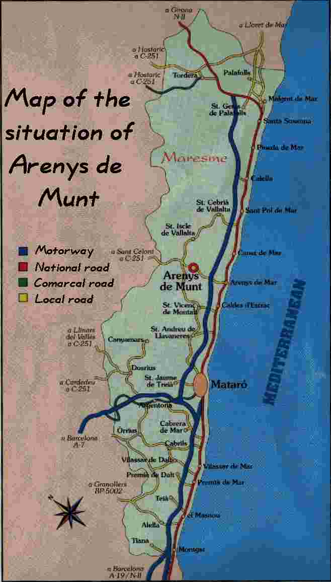
Communication:
Two roads cross the village: the B-511 road, from Arenys de Mar to Sant Celoni, and the BV-5031, from Cornellà to Fogars de Tordera.
The nearest railway station is at 3,5 km, in Arenys de Mar. There
is a bus service running between both villages..
Weather conditions:
Arenys de Munt has got the typical tropical Mediterranean climate.
This climate has got mild winters, rainy springs and autumns, and moderate
summers.